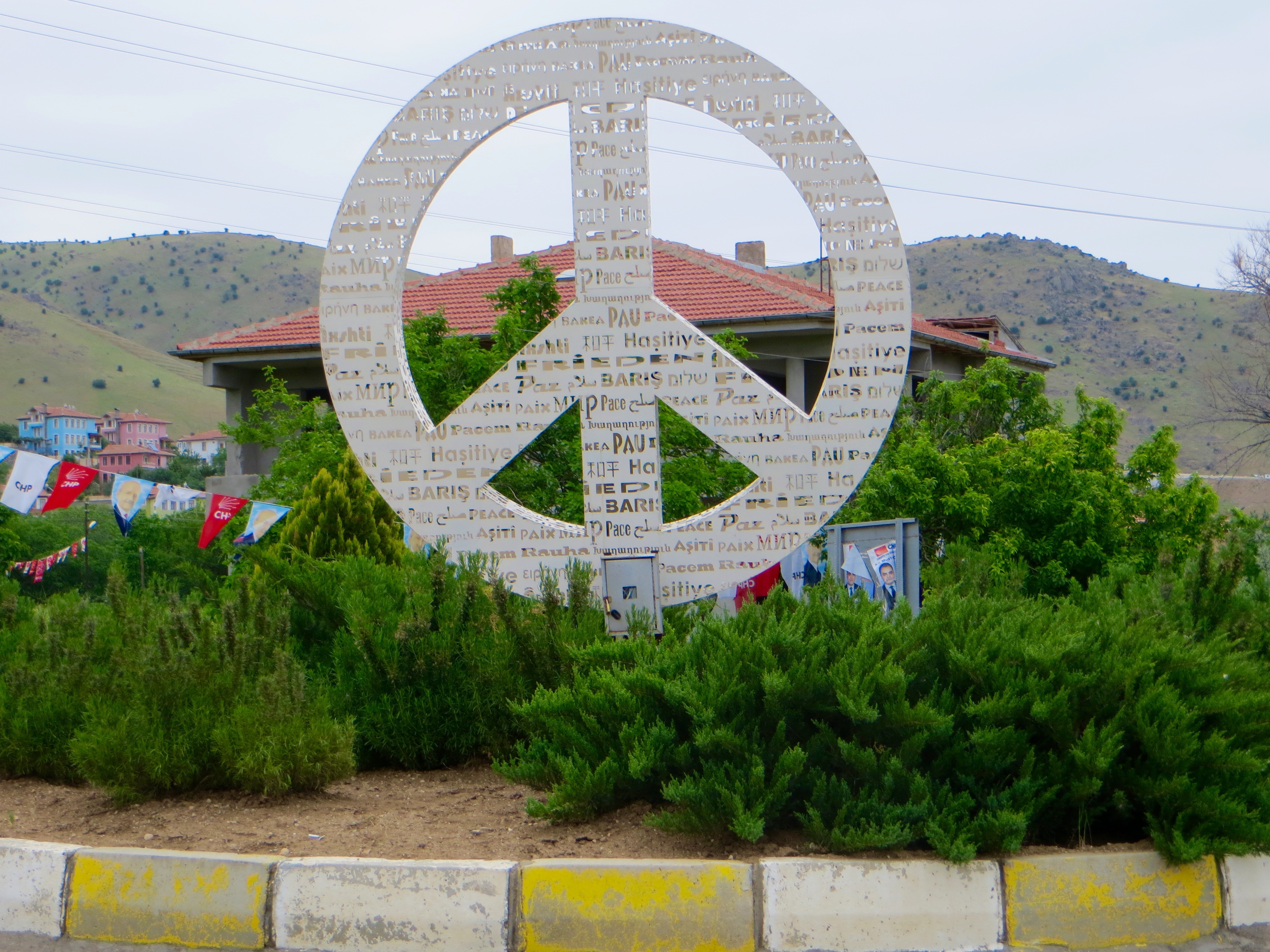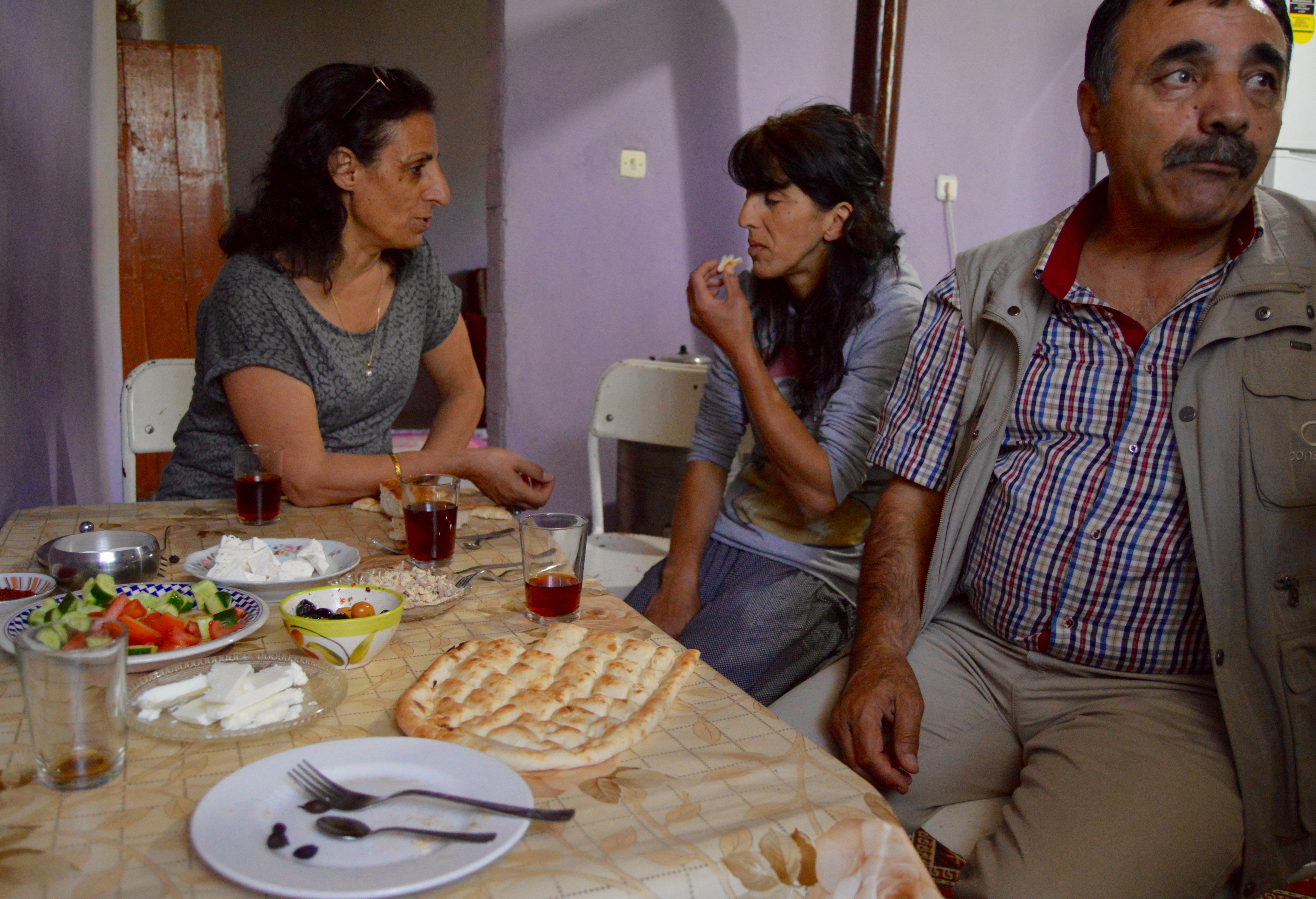
Before breakfast, I walked to the ferry terminal to put the previous night’s empty beer bottles into litter bins, then went to eat in the garden of the hotel overlooking the reservoir. The sun was shining. As I waited for the food and tea to arrive, I looked at the roses in the flower beds. A man arrived in the garden and sat a few tables away. Three friends soon joined him for breakfast. Borek replaced the chips of the morning before and there was an excellent jam made with what looked like blackberries. But the jam contained karadut, of black mulberries. Once again, honey was in the comb.
I packed the last few things into my bags, paid the bill, thanked the staff for what had proved a delightful stay and walked to the ferry terminal knowing I could find a seat in one of the five or six minibuses for Elazig that had arrived for the next crossing. However, as we waited for a ferry to arrive (two ferries made the crossing all day long timing their departure so they set off at almost exactly the same moment, but from opposites sides of the reservoir), I chatted with a man driving an almost new Volvo. An Alevi with the usual misgivings about Erdogan, the AKP and Sunni Muslims, he kindly offered me a lift to Elazig where he was undertaking a day’s business. Because Elazig was from where minibuses would get me to Palu, my destination for the night, I agreed without hesitation to join him.

The ferry terminal, Pertek.

The ferry, Pertek.
Once all the motor vehicles had been driven aboard, the ferry set off. Passengers could walk around the deck, which meant that the views of the castle and the reservoir were very good. I was not allowed to pay either my fare or for the car. The crossing took about only 15 minutes and it did not take long to disembark. The drive thereafter was pretty rather than spectacular, but, as the car began to descend into Elazig, we passed a very large but incomplete hotel commanding extensive views over the city and the wide valley beyond.

The ferry and Pertek Kale.

Pertek Kale.
The man who had given me the lift left his Volvo in a car park next to where minibuses departed for the garaj serving towns and villages to the east. Because Palu lay to the east of Elazig, this was the garaj required for the next leg of my journey, so I got into the right minibus just before it set off. Ten minutes later, I asked from where I could find a service to Palu. In the way characteristic of the trip so far, a minibus for Palu was leaving in about five minutes. Perfection.
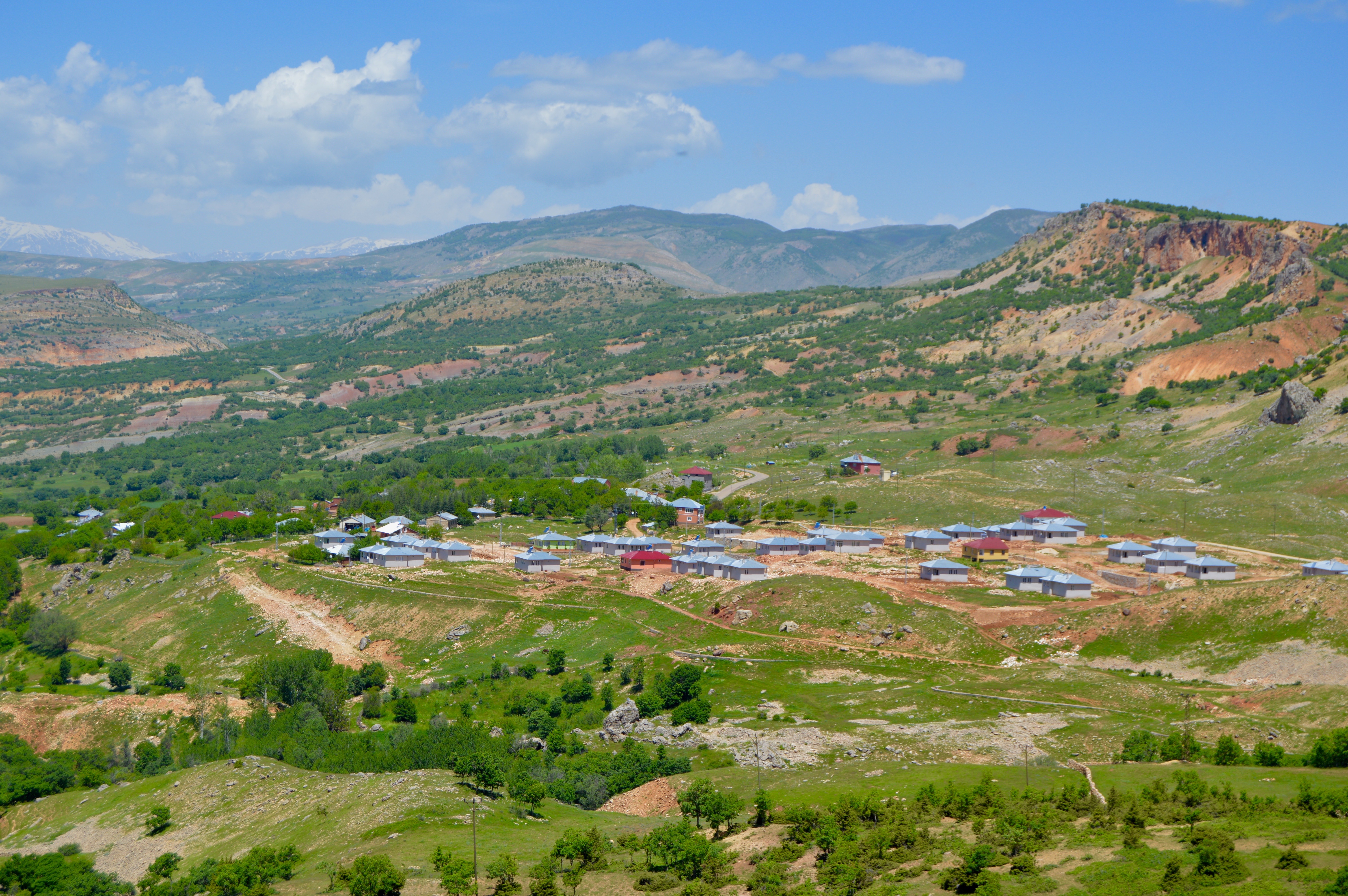
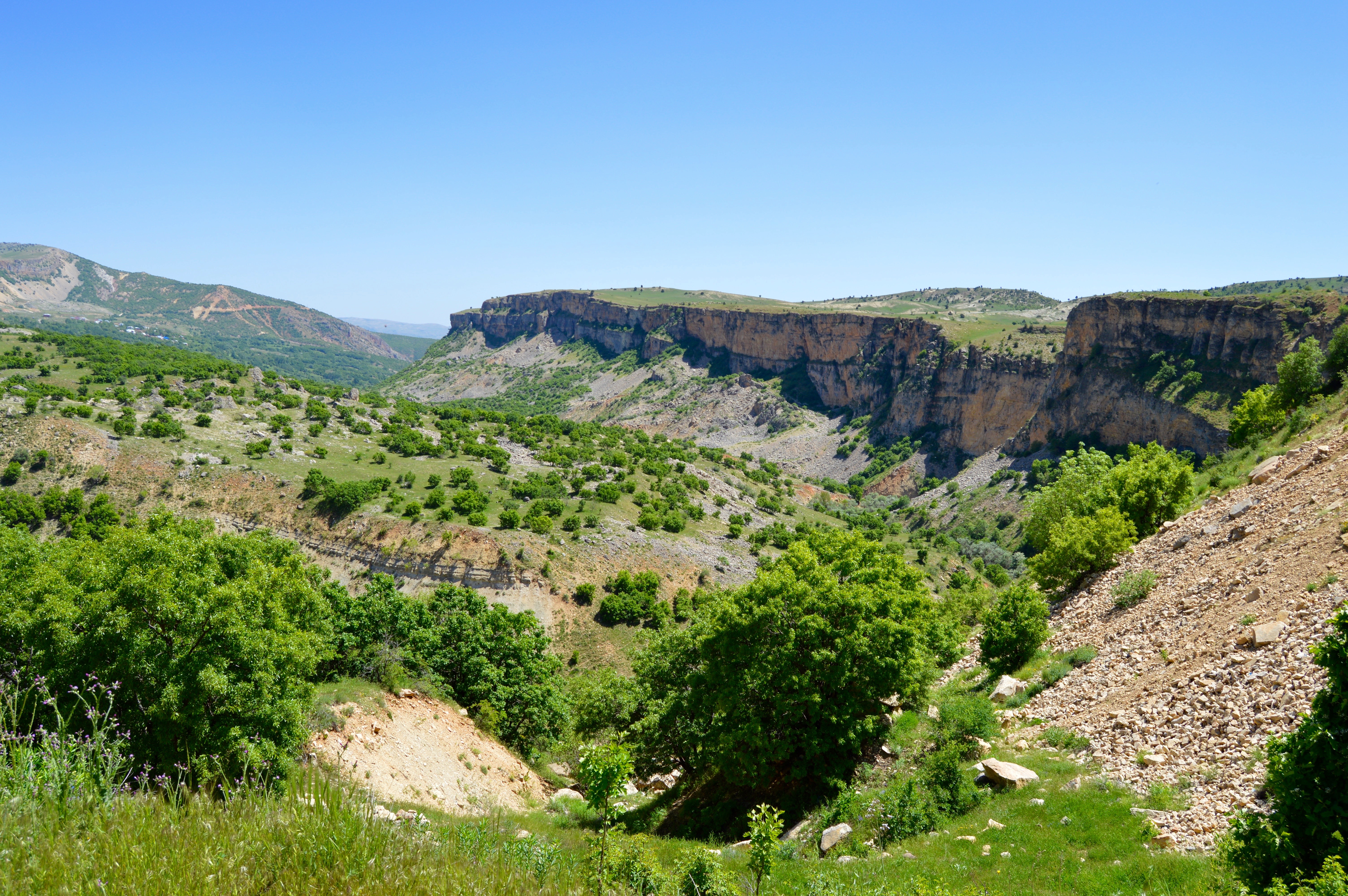
Most of the journey was of moderate interest scenically, especially as we drove beside another reservoir with rounded hills to either side, but as we made our way into Palu my spirits lifted because the town lay beside the Murat Nehri with high mountains nearby. A steep, meandering descent from a plain confirmed that I would enjoy what remained of the day. Some unattractive urban areas lay between Elazig and my destination, most obviously in Kovancilar where we turned off the main road to Bingol and Mus, but, although Palu was overwhelmingly modern, its situation was stunning and it was small enough not to be much of a blot on the landscape. Moreover, because it lay beside the railway from Elazig to Mus and Tatvan, the small town was worth a detour even without the dramatic scenery and Eski Palu, the latter being the main reason why I was staying overnight.
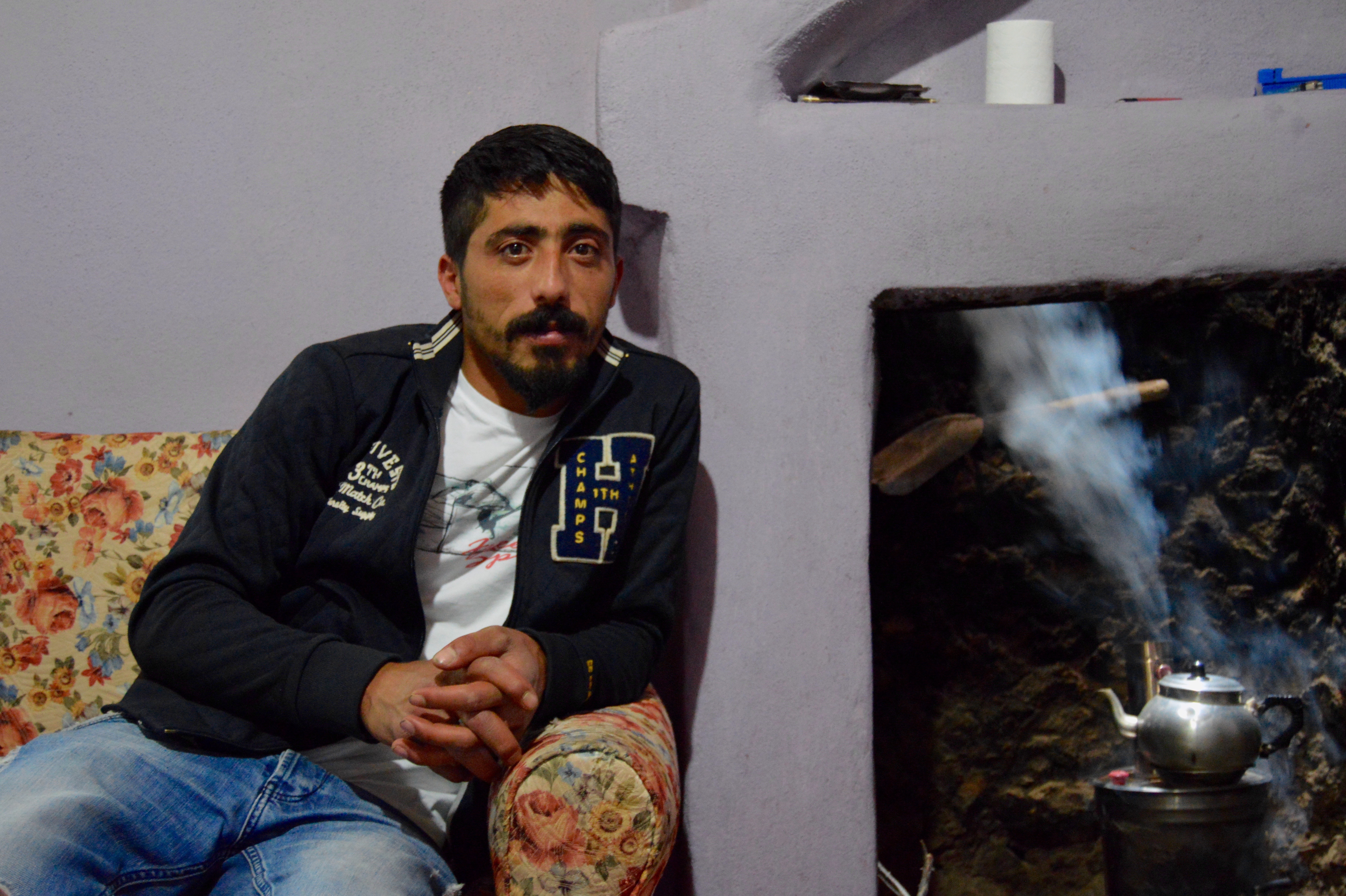
A search on the internet before leaving home suggested that Palu did not have a hotel, and this was confirmed by men at the garaj in Elazig from where the minibuses departed for the town. However, even small towns in Turkey had accommodation of some sort for visitors whether expected or otherwise, and the men at the garaj had assured me that staff at the ogretmen evi would put me up. Palu’s town centre was so small that the minibus terminated almost opposite the ogretmen evi, so I walked across the road to enquire about a room. One was available because most teachers had departed for home. The term was almost over and exams dominated the working day, but only a few teachers were needed to supervise them. The manager of the ogretmen evi was summoned from the nearby large and very new Hukumet Konagi. He showed me around the facilities (the facilities included rooms where games such as pool were played and a kitchen where breakfast was prepared), then offered me a room with three beds near a smaller room with a sink and toilet (showers and more sinks and toilets were upstairs and easy to access). I said how grateful I was for the room, which had lots of storage space, especially for one person, but was even more amazed when I was told that the room cost only 15TL a night. I said that the cost was very low and was happy to pay more, but more could not be accepted. I was in the middle of the town with the pazar, shops, businesses and lokantas nearby; the railway station was a few blocks to the south-west; and a road leading toward Eski Palu began near the Hukumet Konagi less than 300 metres away. I could not believe my luck. We drank tea, my passport was photocopied and a few personal details were committed to a ledger.
I paid for the room in advance, then the manager led me to a small courtyard where the teachers could sit in the evenings drinking tea or soft drinks as they chatted with friends. From a tree, the manager picked a green fruit not unlike a very small apple, but it had a stone rather than pips inside. I bit into the sour but refreshing flesh, itself firm like an immature apple, and the manager gave me about 20 to take for my walk to, around and from Eski Palu.
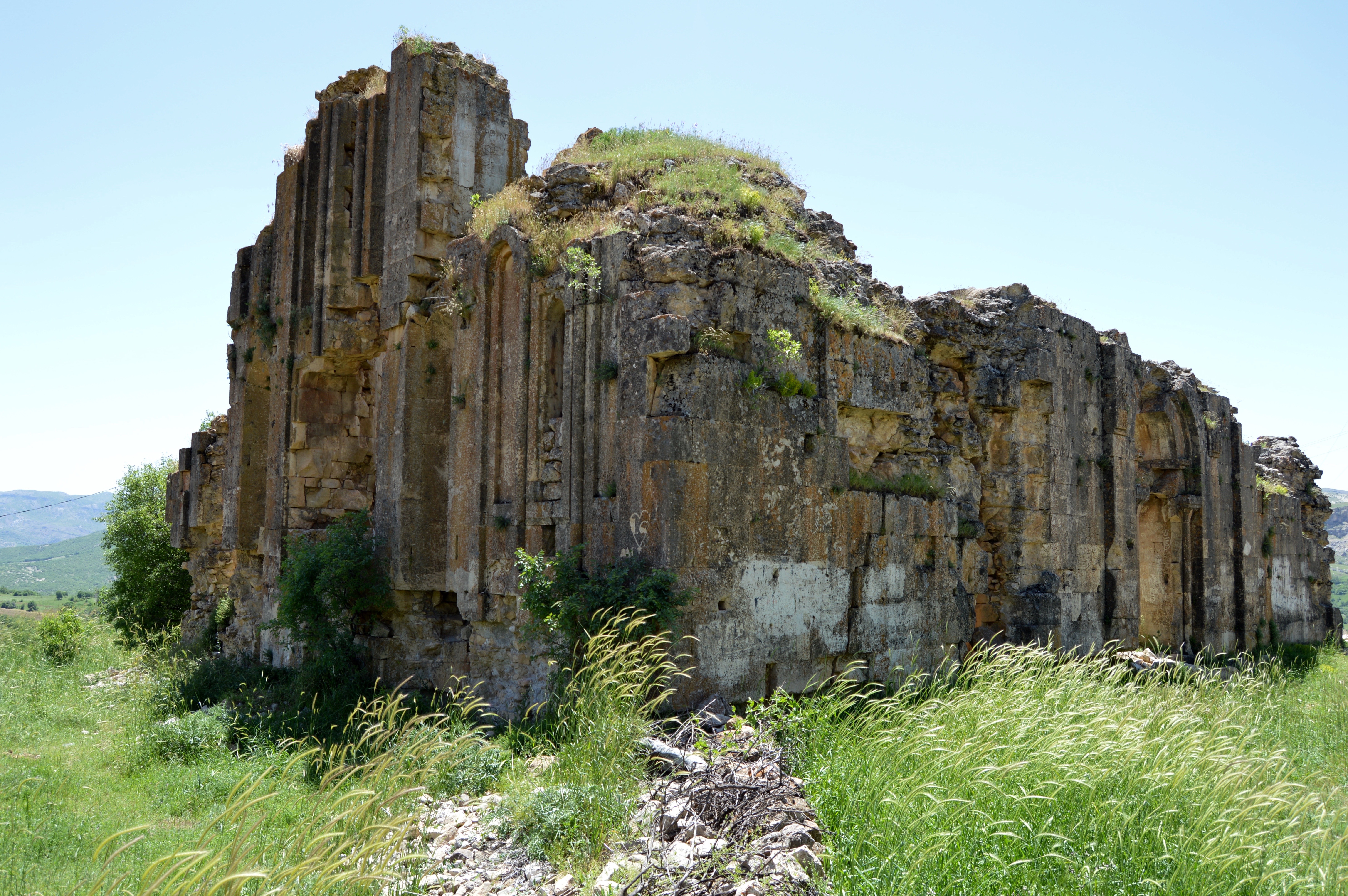
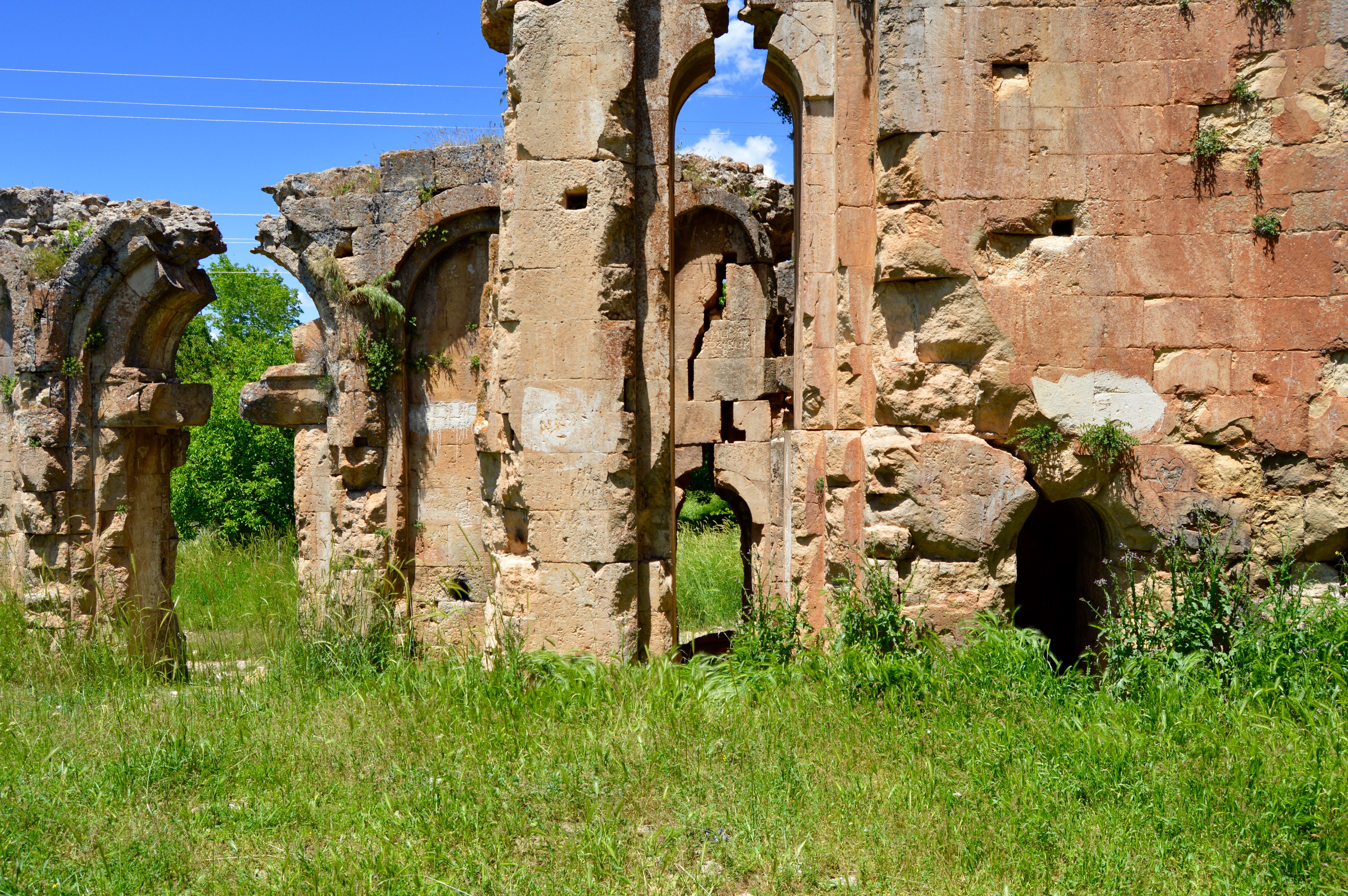
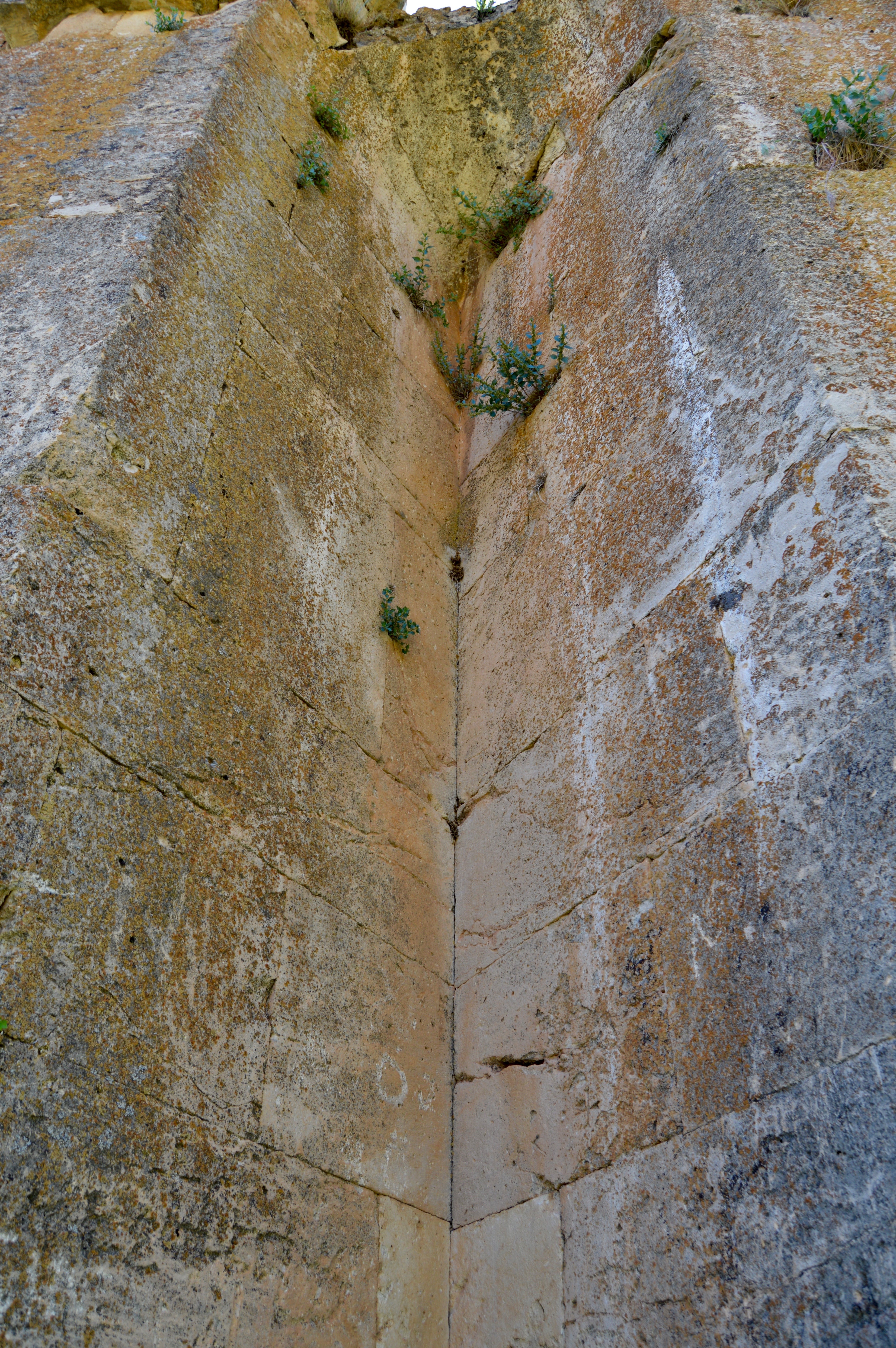
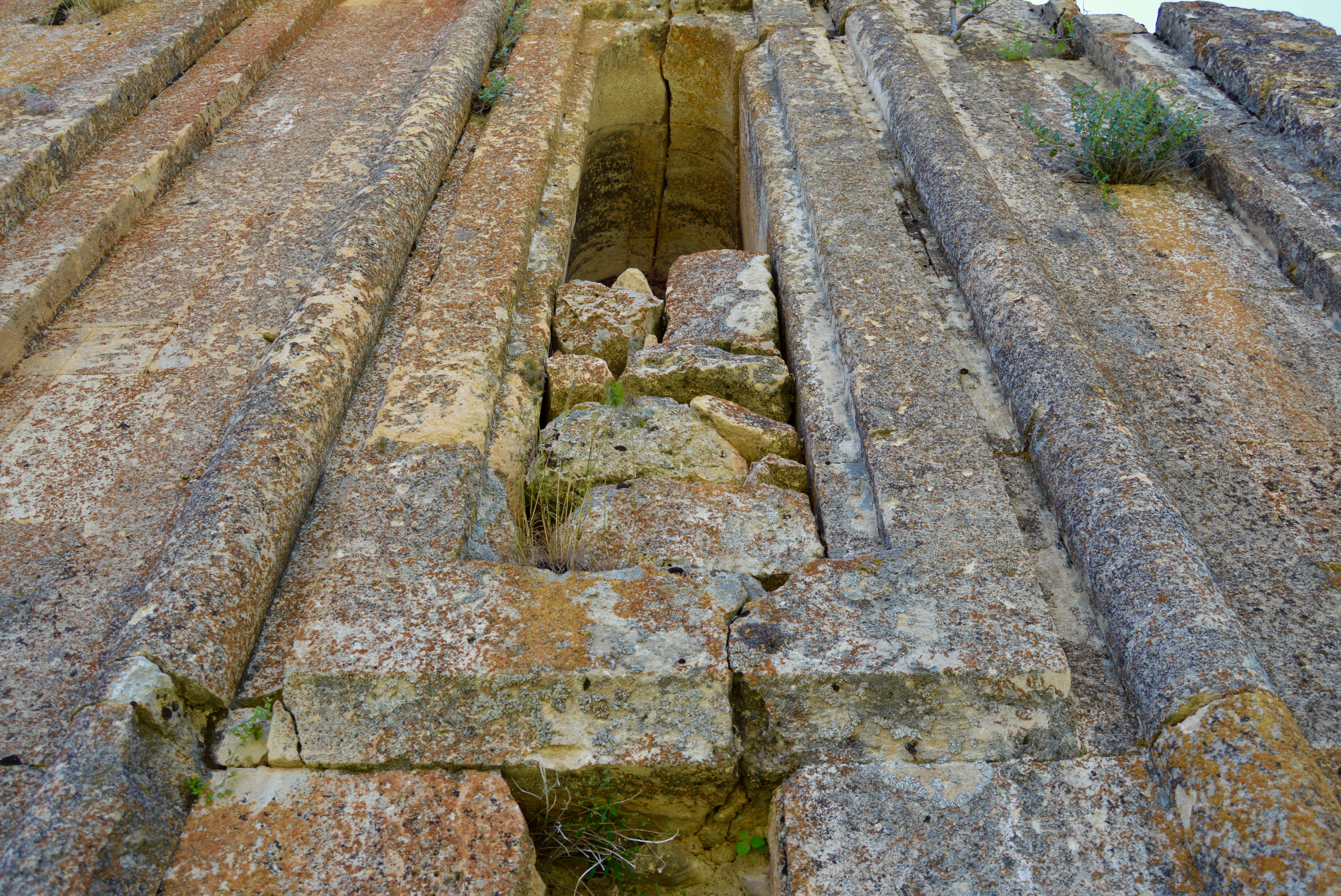
The best way from Palu to Eski Palu on foot (there was a way by car, but it was much greater in length and required crossing the river twice) was to follow the railway as closely as possible as it went east. When some of the ruins were in sight to the left, it was necessary to ascend a rounded hill while aiming for one of the surviving minarets. The centre of Eski Palu, which had long been abandoned and replaced by the town in which I was staying overnight, lay among the ruins just mentioned, but the ruins of a citadel were on the massive eruption of rock behind them. Eski Palu deserved to be far better known because its ruins were more extensive and rewarding than the ones at similar but more famous places.

View east between Palu and Eski Palu.
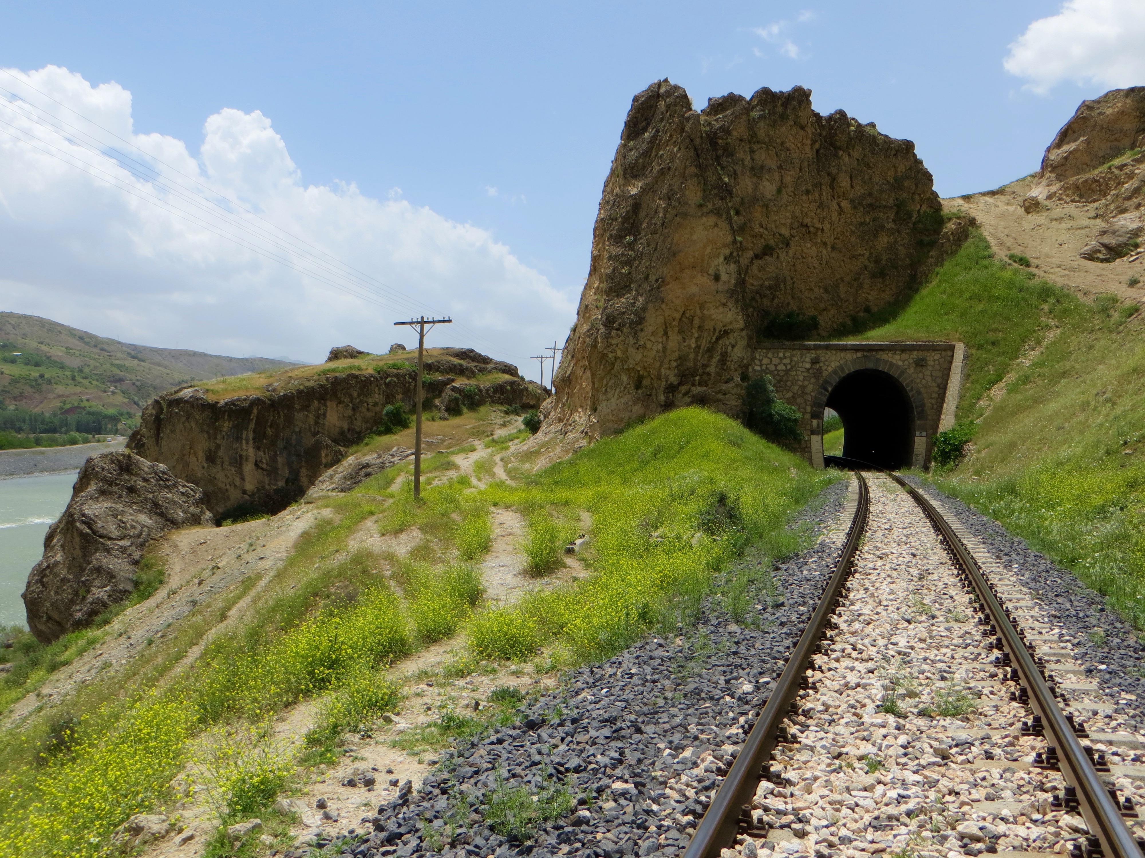
Between Palu and Eski Palu.
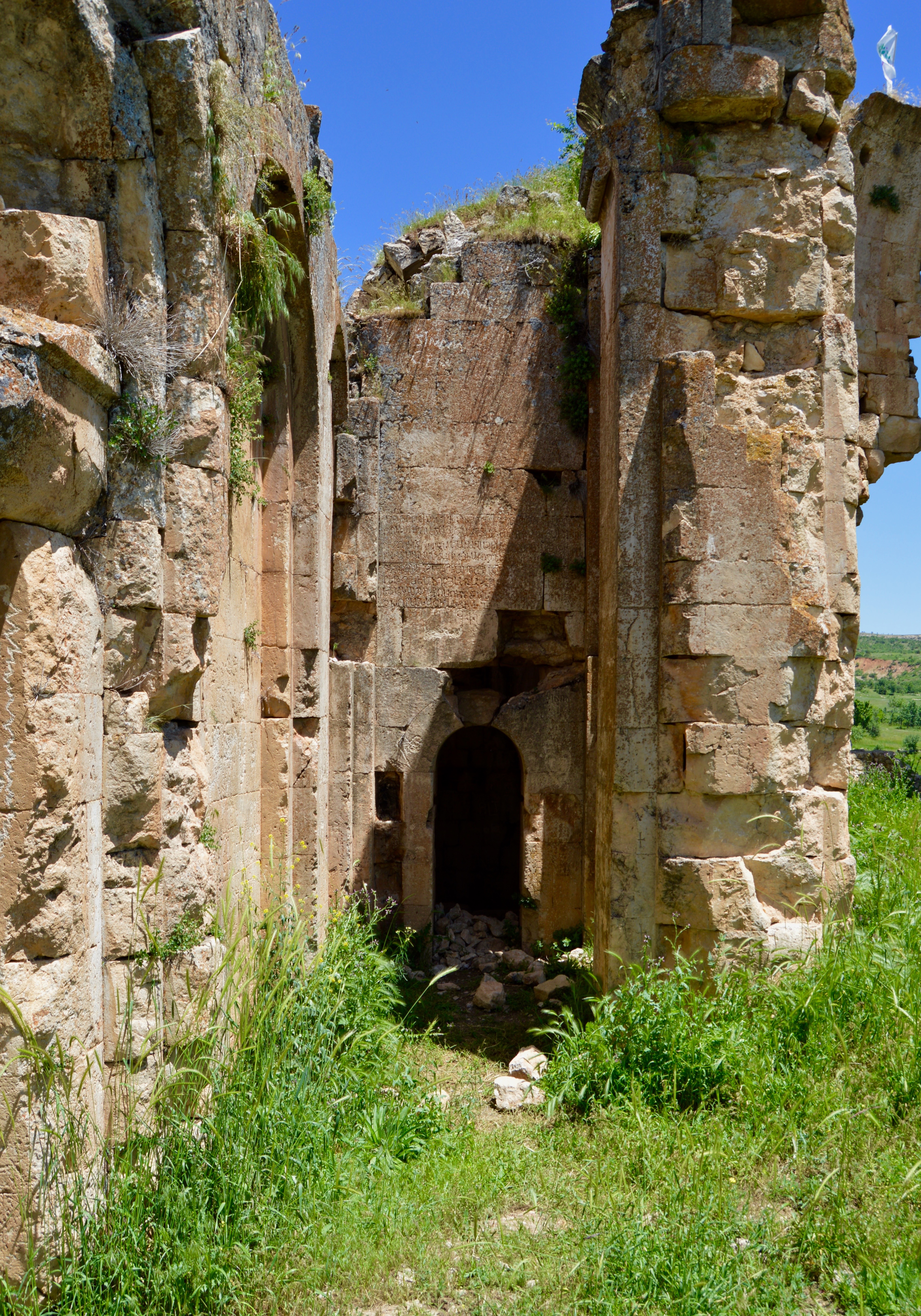
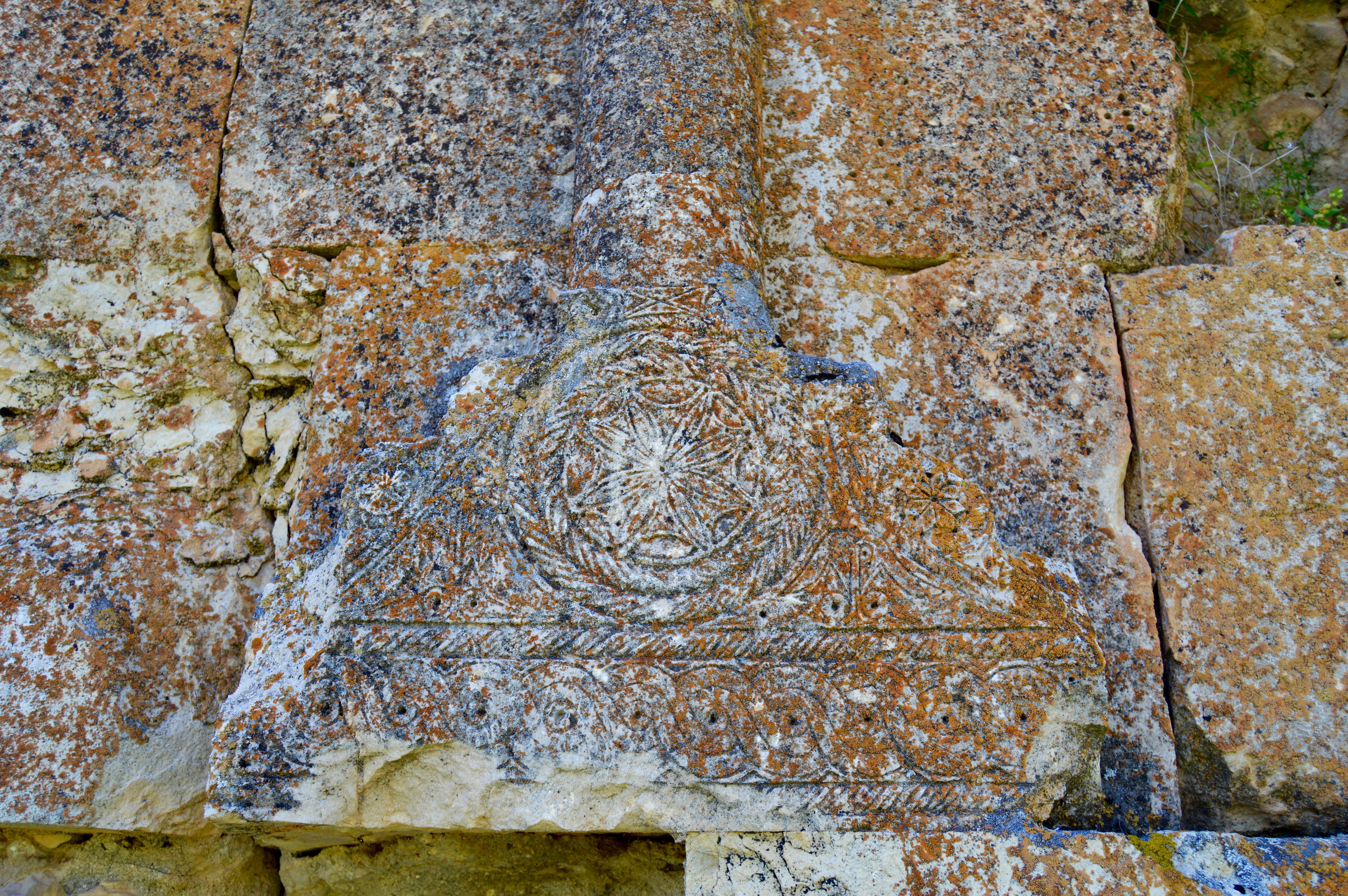
There were footpaths for most of the way to Eski Palu. Some of them were directly above the river with the railway to my left, and some were a little to the north with the railway to my right. However, all the paths eventually disappeared among new grass and late spring’s wild flowers. I had to ascend a hillside using one of the minarets to keep me roughly on course. When I arrived on the more level ground that must have once been the centre of Eski Palu, there were the ruins of two mosques, a hamam and a cesme in close proximity and, some way to the east, a ruined church. High above me to the north were the ruins of the citadel. The ruins of the hamam were the most impressive and they were the ones most obviously benefitting from a lengthy restoration programme.

View west to Palu.
I had been looking around the ruins for about 15 minutes when I met six workmen who had been resting nearby before resuming their task of restoring the hamam. One of the workmen kindly encouraged me to enter parts of the ruins not previously examined, then he invited me to join two of his colleagues for glasses of tea in a large portacabin that was where they slept at night. The portacabin was also their daytime retreat when the heat became oppressive or they wanted to eat a meal. They said it was quite a long walk to the citadel, but it could be reached along a gently inclined road that turned into a path with stone steps. However, the effort would be worthwhile because I would enjoy the views, some Urartian remains and a tunnel of unknown origin. I took their advice, but did not realise at the time that the walk would also lead to other ruins associated with Eski Palu.

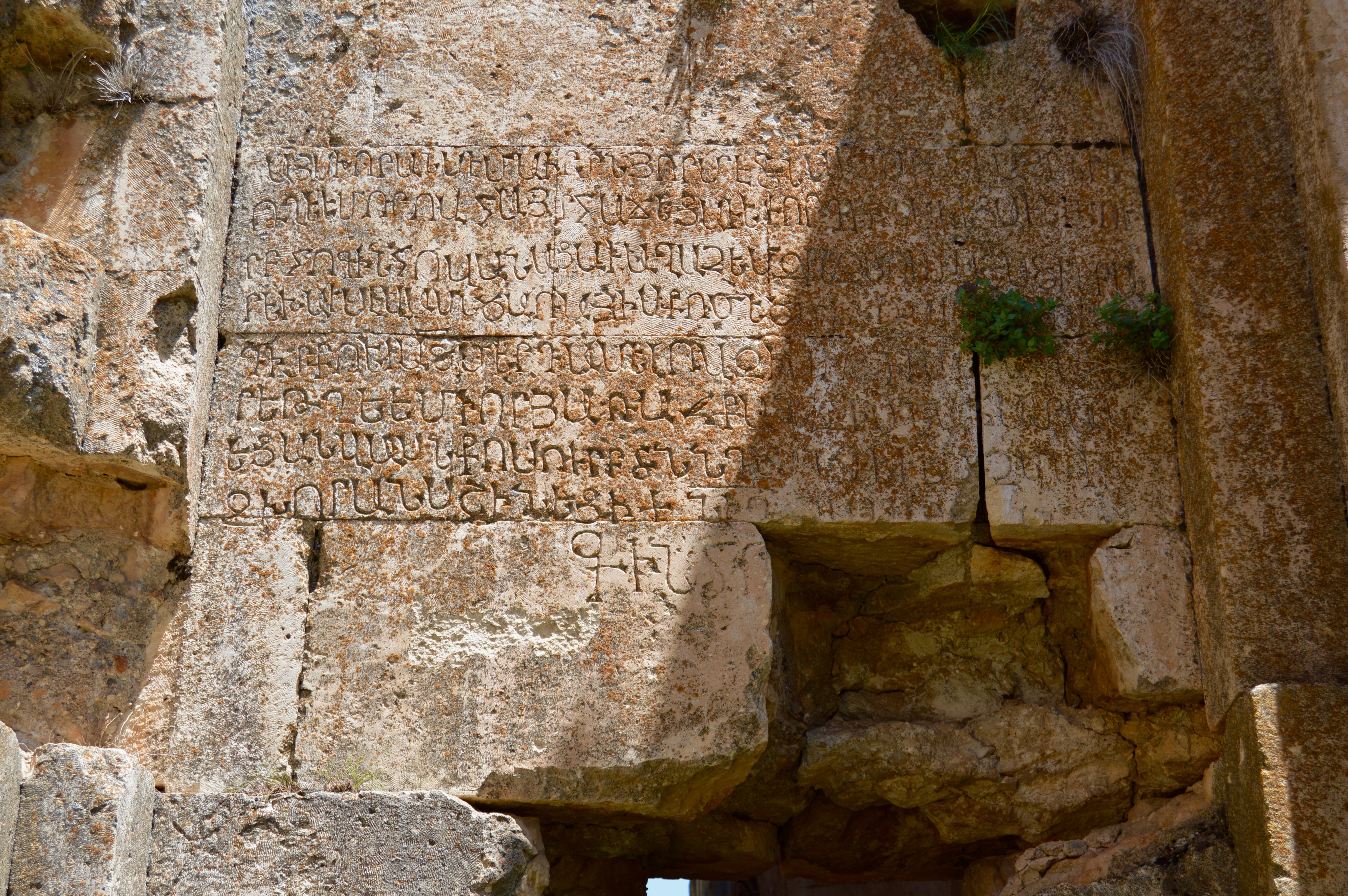
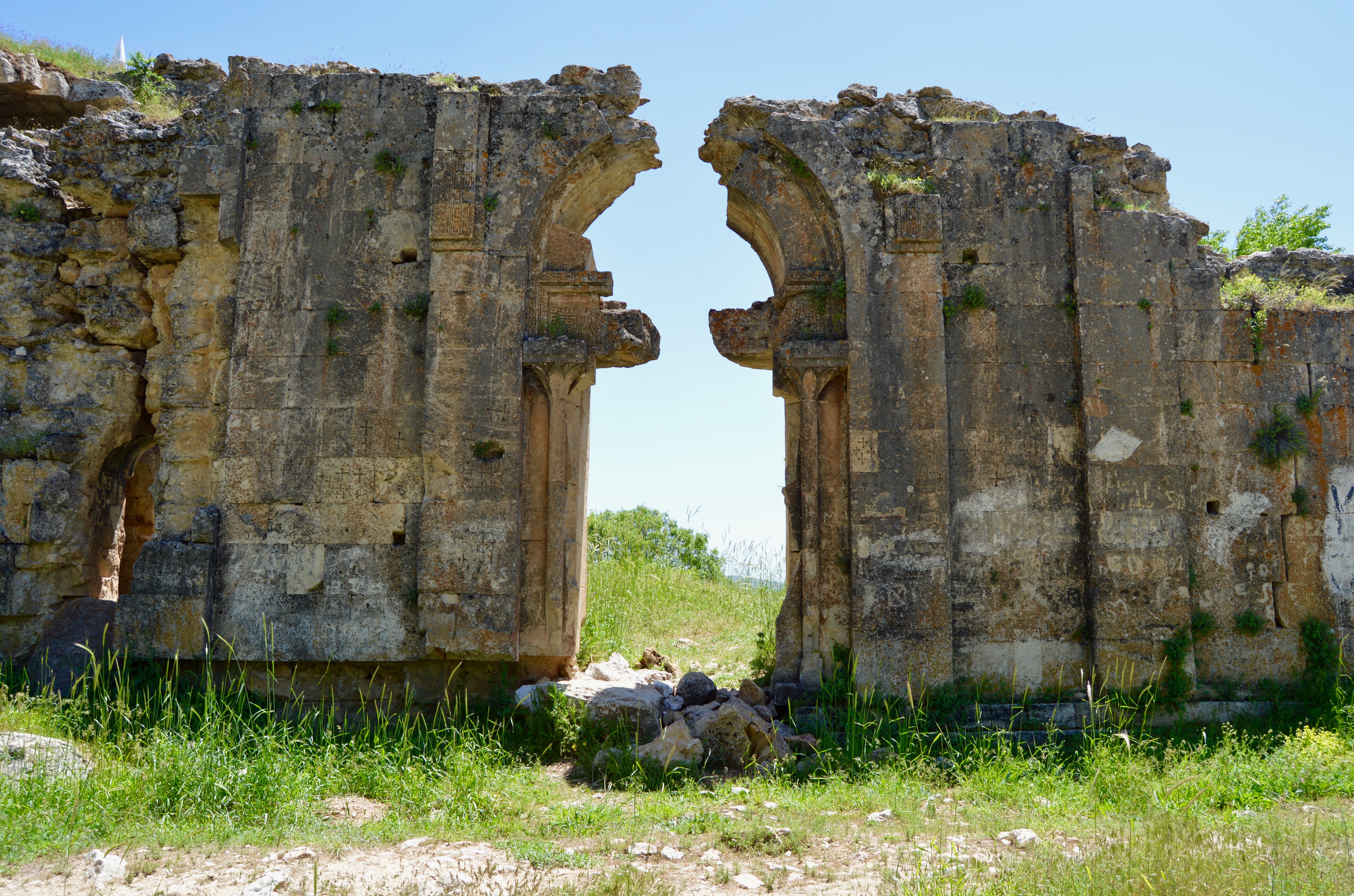
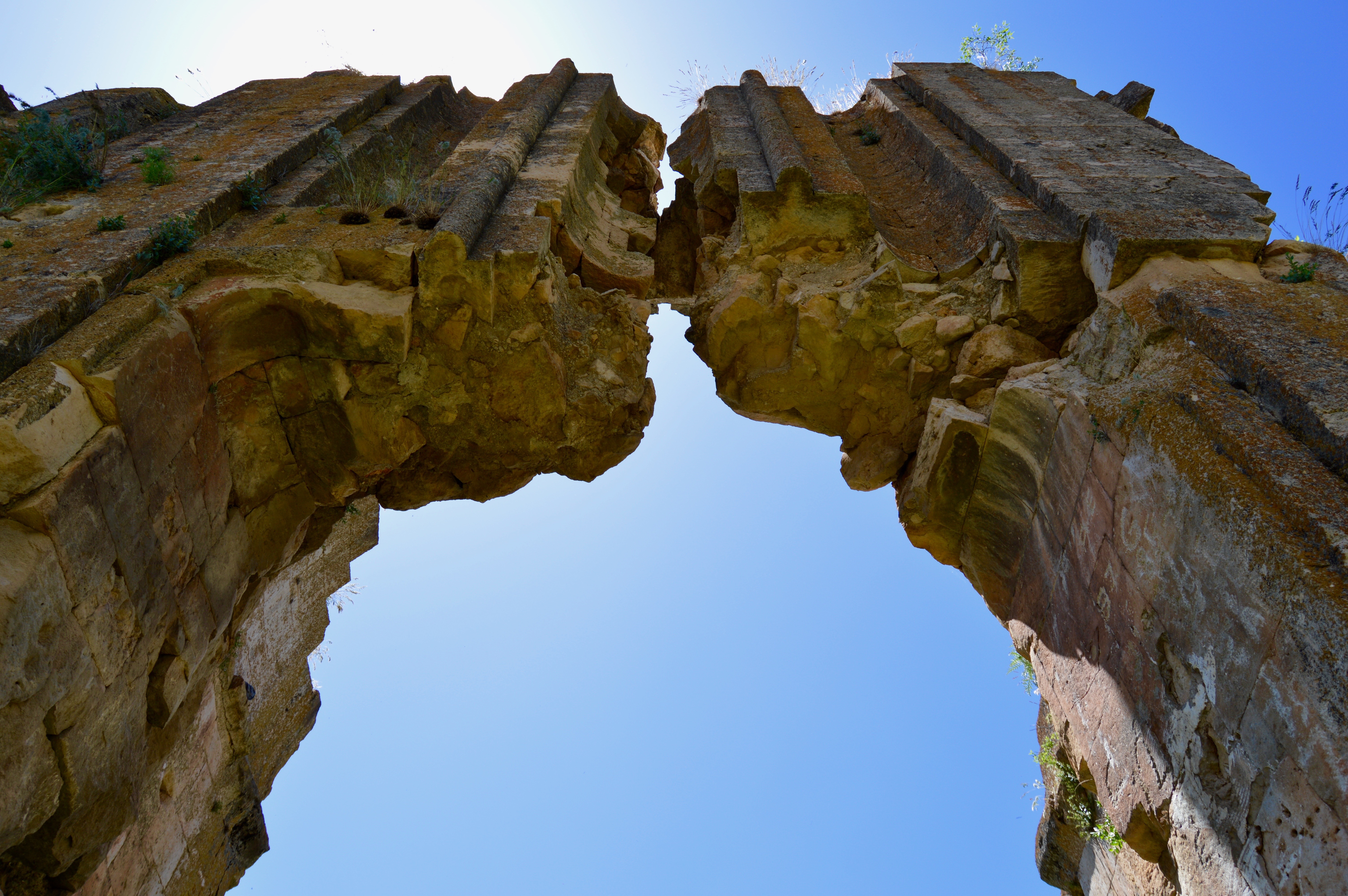
Kucuk Camii, Eski Palu.

Kucuk Camii, Eski Palu.

Kucuk Camii, Eski Palu.